You are using an out of date browser. It may not display this or other websites correctly.
You should upgrade or use an alternative browser.
You should upgrade or use an alternative browser.
Coast to Coast
- Thread starter 09UltraSteve
- Start date
valadyrider5
New Member
Awesome pictures!!!! Can't wait to catch up with you when you get back to hear all about your adventures. Ride Safe and see you soon!!!
Niki
Niki
09UltraSteve
Member
Day 11 07/15/09 Part 2
Boy, not getting cell or internet service for 2 days put me really far behind on this thread. I hope you guys can bear with me doing multiple days at once.
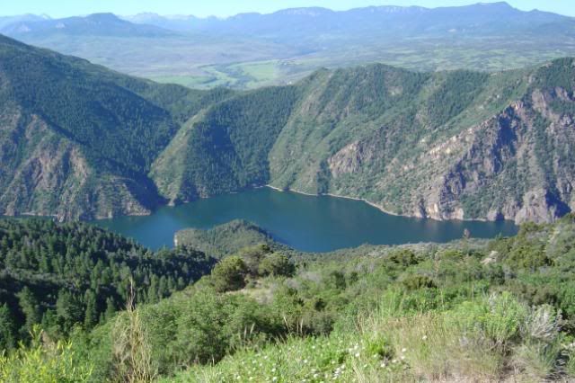
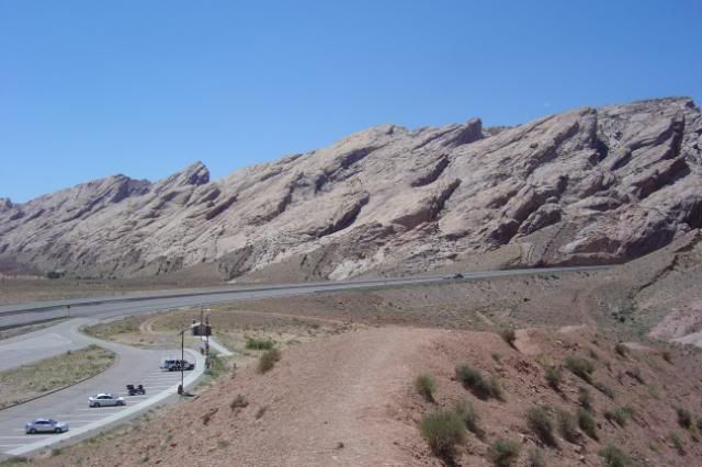
I left Gunnison and headed out to the Blue Mesa Resivoir. What a beautiful lake, it is some 400 feet deep at the dam.
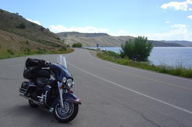
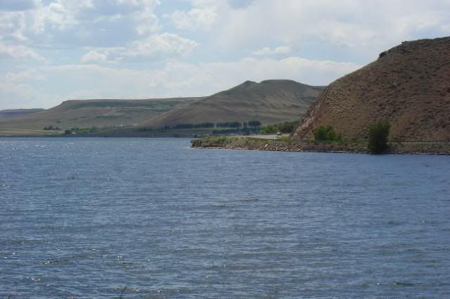
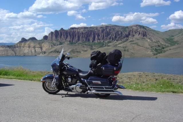
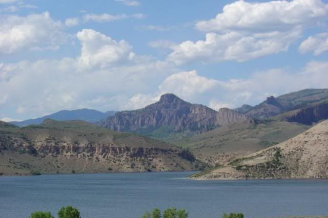
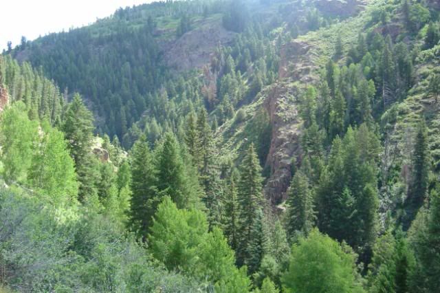
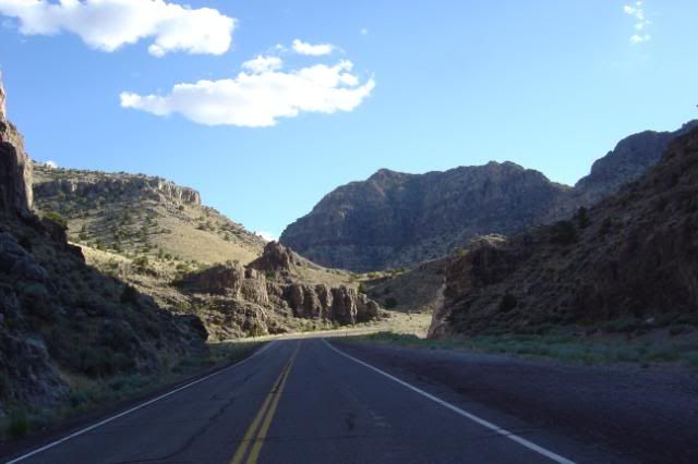
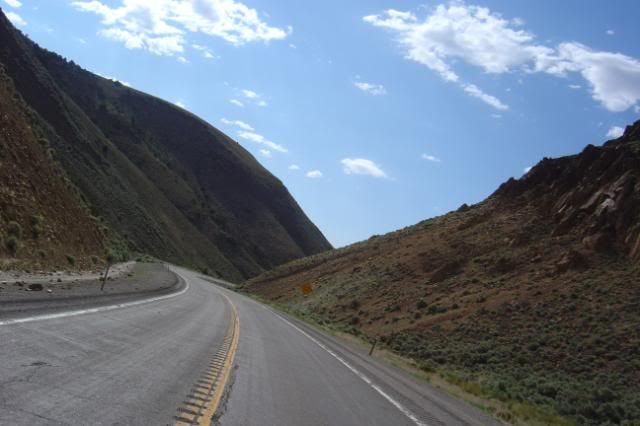
I rode out 50 and it crosses over the lake several times, at the junction of 92, 50 stays on the south of Black Rock Canyon while 92 takes the north route. I took 50 all the way to Cimarron where it heads to Montrose instead of following the canyon. I turned around and headed for my camp site.
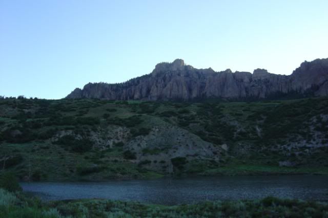
This is the back side of the dam and the start of Black Rock Canyon
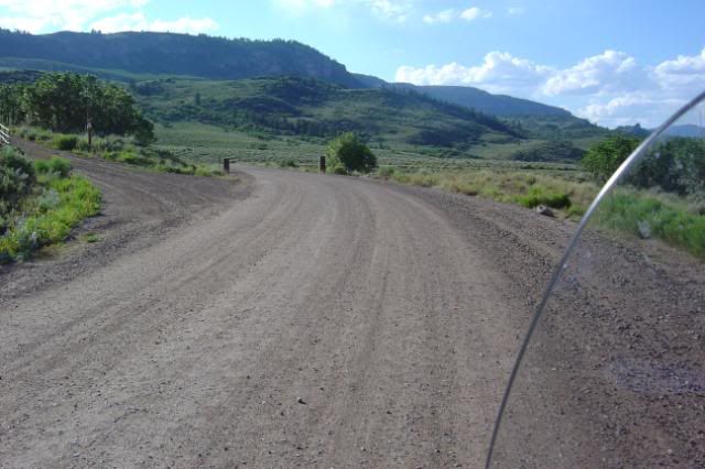
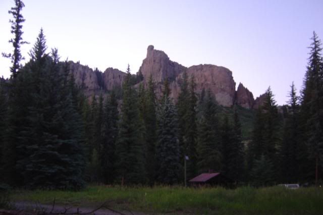
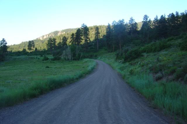
I talked to a ranger and he told me that one of the best campsites on the lake was up at the end of Soap Creek. Which was about 7 miles up a hard pack gravel road.
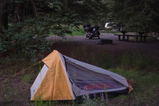
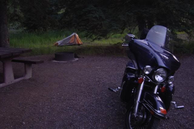
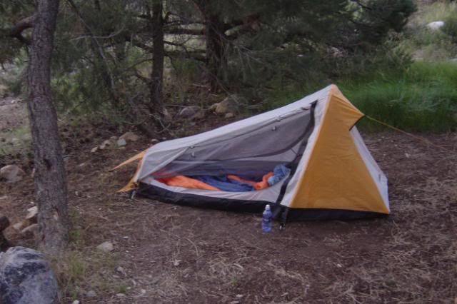
Made it to the camp gound and set up the tent.
Sun set from the campsite, pretty nice huh?
Boy, not getting cell or internet service for 2 days put me really far behind on this thread. I hope you guys can bear with me doing multiple days at once.
I left Gunnison and headed out to the Blue Mesa Resivoir. What a beautiful lake, it is some 400 feet deep at the dam.
I rode out 50 and it crosses over the lake several times, at the junction of 92, 50 stays on the south of Black Rock Canyon while 92 takes the north route. I took 50 all the way to Cimarron where it heads to Montrose instead of following the canyon. I turned around and headed for my camp site.
This is the back side of the dam and the start of Black Rock Canyon
I talked to a ranger and he told me that one of the best campsites on the lake was up at the end of Soap Creek. Which was about 7 miles up a hard pack gravel road.
Made it to the camp gound and set up the tent.
Sun set from the campsite, pretty nice huh?
09UltraSteve
Member
Day 12 07/16/09
Had a good nights sleep and got up with the sun. Packed the bike up and headed out.
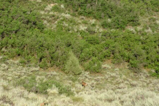
Saw some wild life on the way out.
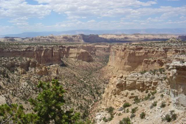
A couple of pictures of Soap Creek Canyon

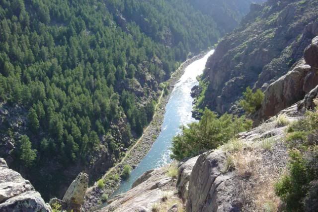
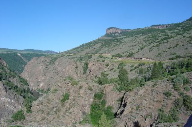
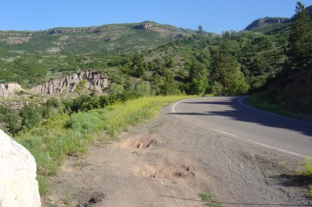
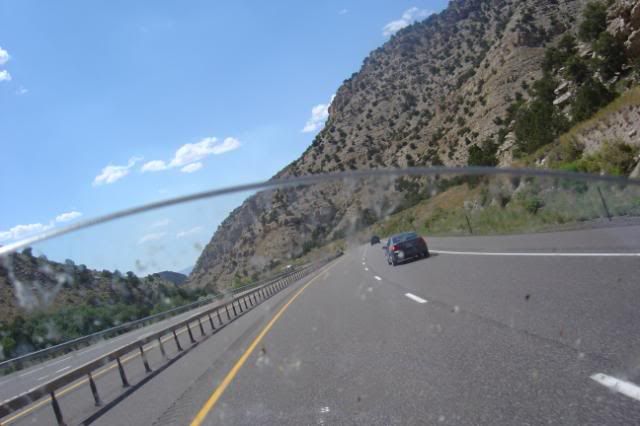
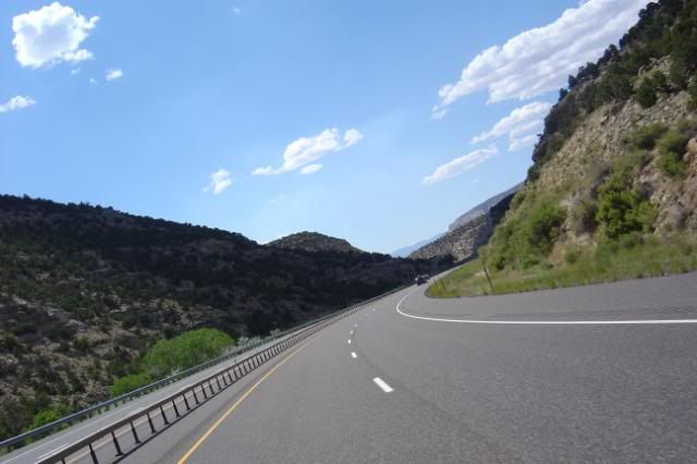
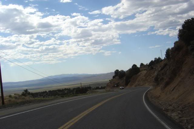
I took 92 west which runs the north side of Black Rock Canyon. This was an awsome ride with lost and lots of twisties. Most of the road is right on the edge of the canyon and no gaurd rails. There are parts that are 800 feet to the bottom. Can you say pay attention to the road?
Yes thats about 800 feet to the water.
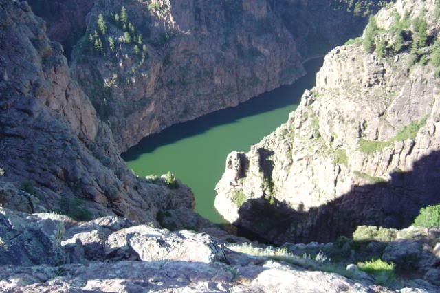
The sign said this rock formation was 700 feet out of the water and look how much higher I am.
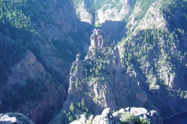
Still on 92 following the canyon
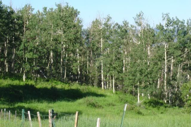
Some white birches I believe.
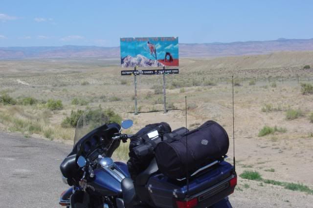
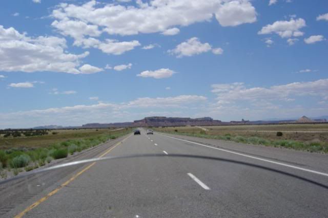
Ok made it off 92 and back on 50. I made it to Utah. It only took 3 hours to do 118 miles this morning. The Twisties on 92 took up some time and ate alot of miles.
These next pictures are fron the Utah boarder to Salina. Pay very close attention to the last picture and do not try this, it makes you sweat more than the heat does.

Ok I put 5.5 gallons in a 6 gallon tank. The lesson here is pay attention to the signs for gas stations. They are far and few. What happened is I missed the sign that said no gas for 100 miles.
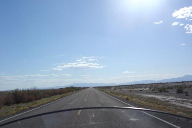
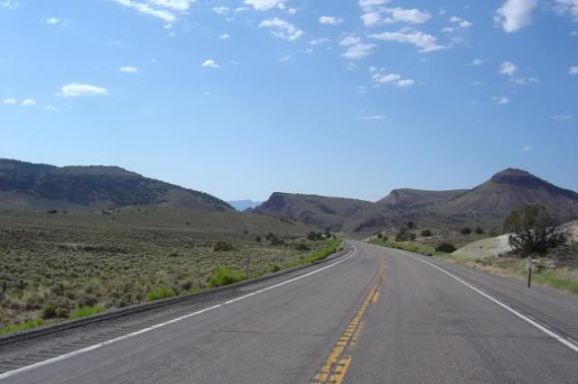
These pictures are from Salina to the Nevada boarder, still on 50.
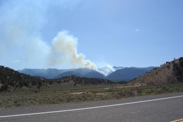
Signs said this was a controlled burn and do not report it.
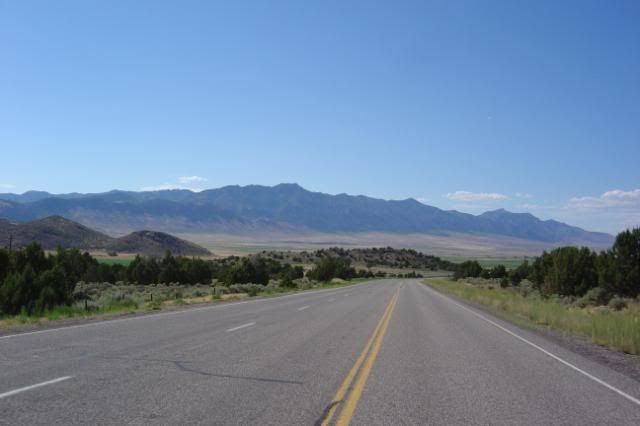
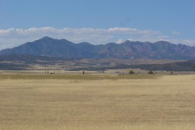
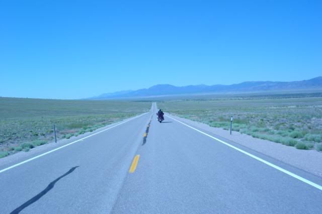
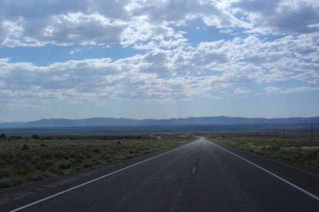
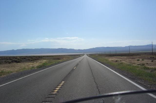
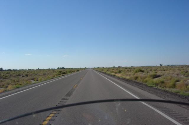
50 is long and straight and the scenery looks the same. Can you say "The Road Goes on Forever"?
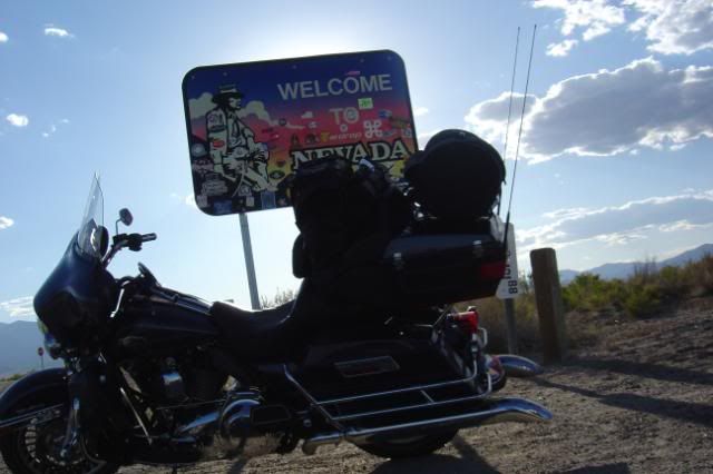
Made it to Nevada.
 Stopped in Baker to get a quick dinner before going into the Great Basin to camp for the night. Well it didn't turn out quick and it was dark riding to the camp site.
Have been without cell service since Salina and not sure when I would get it back. The waitress said they didn't get power out here till 1976.......
Had a good nights sleep and got up with the sun. Packed the bike up and headed out.
Saw some wild life on the way out.
A couple of pictures of Soap Creek Canyon
I took 92 west which runs the north side of Black Rock Canyon. This was an awsome ride with lost and lots of twisties. Most of the road is right on the edge of the canyon and no gaurd rails. There are parts that are 800 feet to the bottom. Can you say pay attention to the road?
Yes thats about 800 feet to the water.
The sign said this rock formation was 700 feet out of the water and look how much higher I am.
Still on 92 following the canyon
Some white birches I believe.
Ok made it off 92 and back on 50. I made it to Utah. It only took 3 hours to do 118 miles this morning. The Twisties on 92 took up some time and ate alot of miles.
These next pictures are fron the Utah boarder to Salina. Pay very close attention to the last picture and do not try this, it makes you sweat more than the heat does.
Ok I put 5.5 gallons in a 6 gallon tank. The lesson here is pay attention to the signs for gas stations. They are far and few. What happened is I missed the sign that said no gas for 100 miles.
These pictures are from Salina to the Nevada boarder, still on 50.
Signs said this was a controlled burn and do not report it.
50 is long and straight and the scenery looks the same. Can you say "The Road Goes on Forever"?
Made it to Nevada.
Have been without cell service since Salina and not sure when I would get it back. The waitress said they didn't get power out here till 1976.......
09UltraSteve
Member
Day 13 07/17/09
Campsite at Great Basin.
Rode up to the end of the road in the Great Basin, up to 10,000 feet. I really wanted to camp up here last night but was not going to ride all the way up here in the dark.
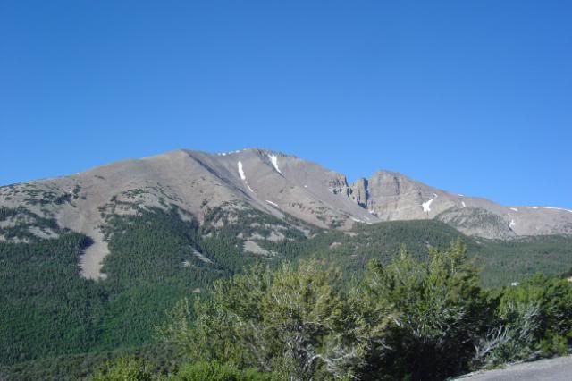
Where the road ended there was a trail up to Wheeler Peak. the hiking trail only went up another 3000 feet and took 8 to 10 hours. I will save that hike for another day...
Wheeler Peak
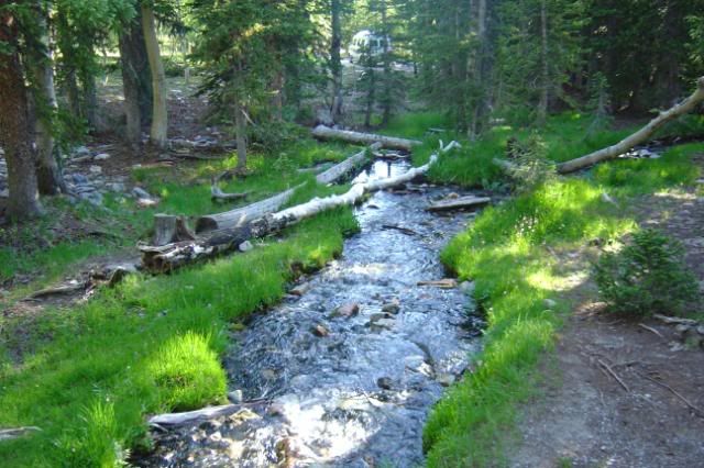
A creek at the upper campground
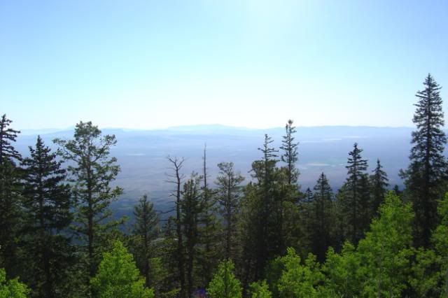
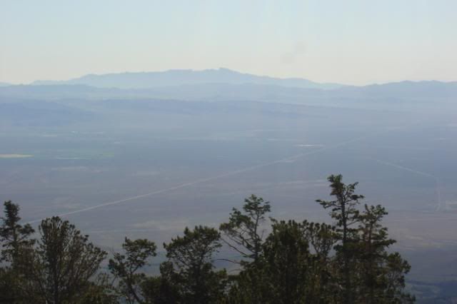
The view from the top.
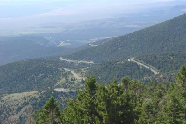
The ride down. See why you wouldn't want to do this in the dark.
Stopped for some coffee at this little store in Baker.
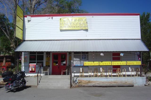
The store was a multi purpose shop. It was also the movie theatre on Friday nights.
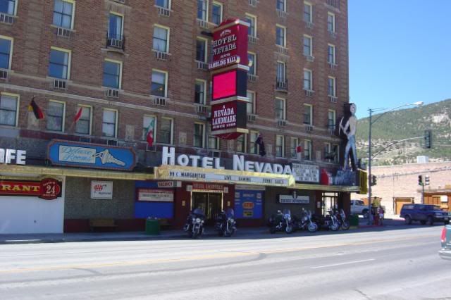
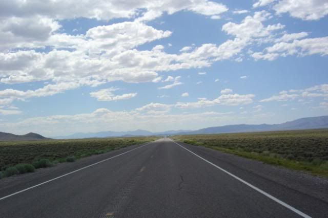
Here is route 50 again. Its called the lonliest road in Nevada.
Finally got cell service back in Ely. And was able to check in with my sweetie and let her know everything was ok.
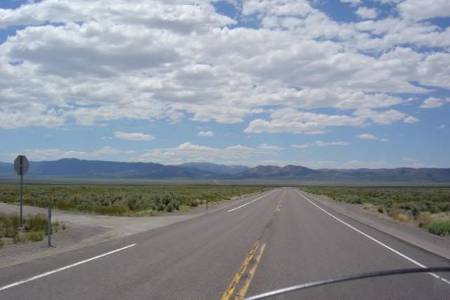
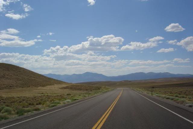
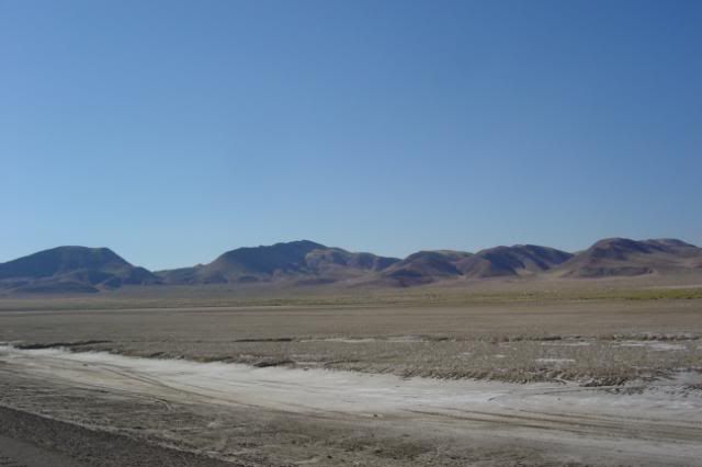
Ok I am not really sure how to log the rest of today. "The Lonliest Road" is really an understatment. You basicly go over a mountain range into a valley then over another mountain range then repeat, all day long.
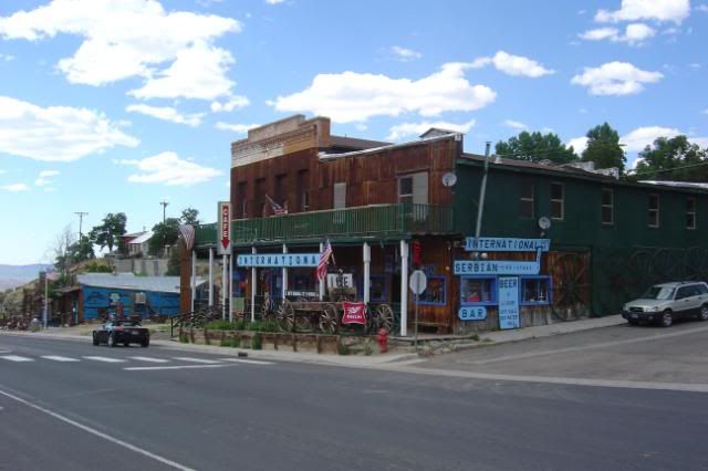
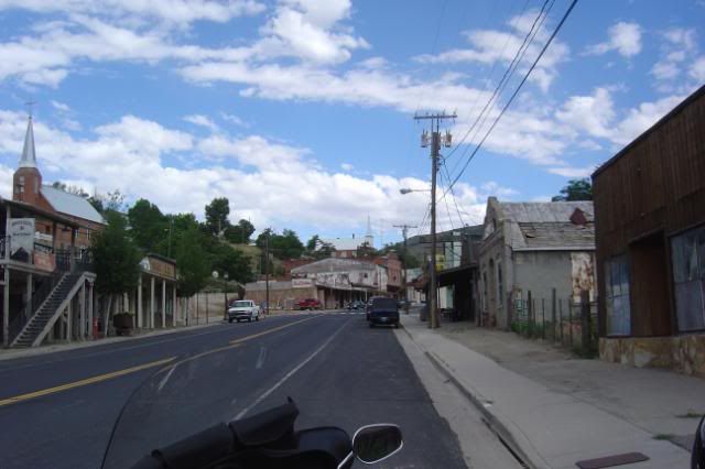
The town of Austin, NV
Between Austin and Fallon
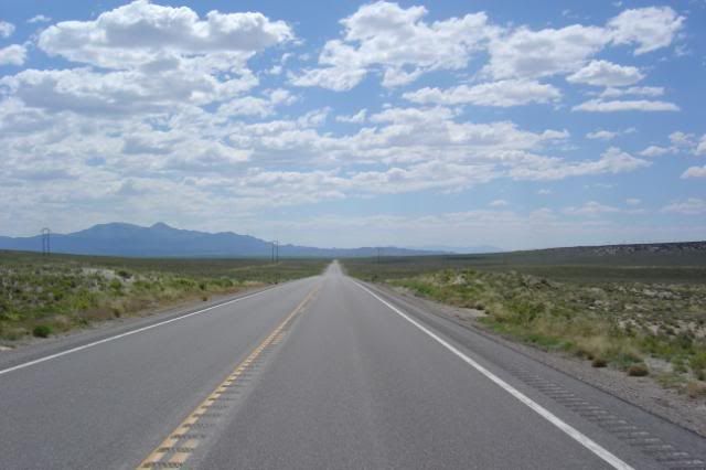
Does it ever end???????
Stopped in Fallon for the night.
Tomorrow off to go around Lake Tahoe and on into California, will I make Eureka?
Campsite at Great Basin.
Rode up to the end of the road in the Great Basin, up to 10,000 feet. I really wanted to camp up here last night but was not going to ride all the way up here in the dark.
Where the road ended there was a trail up to Wheeler Peak. the hiking trail only went up another 3000 feet and took 8 to 10 hours. I will save that hike for another day...
Wheeler Peak
A creek at the upper campground
The view from the top.
The ride down. See why you wouldn't want to do this in the dark.
Stopped for some coffee at this little store in Baker.
The store was a multi purpose shop. It was also the movie theatre on Friday nights.
Here is route 50 again. Its called the lonliest road in Nevada.
Finally got cell service back in Ely. And was able to check in with my sweetie and let her know everything was ok.
Ok I am not really sure how to log the rest of today. "The Lonliest Road" is really an understatment. You basicly go over a mountain range into a valley then over another mountain range then repeat, all day long.
The town of Austin, NV
Between Austin and Fallon
Does it ever end???????
Stopped in Fallon for the night.
Tomorrow off to go around Lake Tahoe and on into California, will I make Eureka?
09UltraSteve
Member
I want to say hi to ccvfd21 (Richard) and valadyrider5 (Niki) They are both friends that are following me on here.
blvd_cruiser
Member
Dang......all I can say is too cool.....Enjoying this thread......Ride save and keep it coming.
Tony
Tony
RetiredJake
Junior Member
Steve,
I like your tent. What brand/model?
Keep up the narrative, you're doing great !
Jake
I like your tent. What brand/model?
Keep up the narrative, you're doing great !
Jake
Davidw2415
Senior Member
Steve, looks like you're having a most wonderful adventure. Great pictures. Thanks for taking us along.